Lake pages connected to this source through primary attribution or measurements.
active
LCRA source page.
Highland Lakes operating context, lake-level reports, projections, and historical files.
Published source refresh cadence or planning note.
Loaded 6 Highland Lakes live elevation readings from LCRA Hydromet.
Lower Colorado River Authority
Coverage, provenance, and connected lake pages.
Source classification used by the LakeStat ingestion plan.
Expected freshness window before a lake record starts aging.
Highland Lakes pass-through reservoirStale
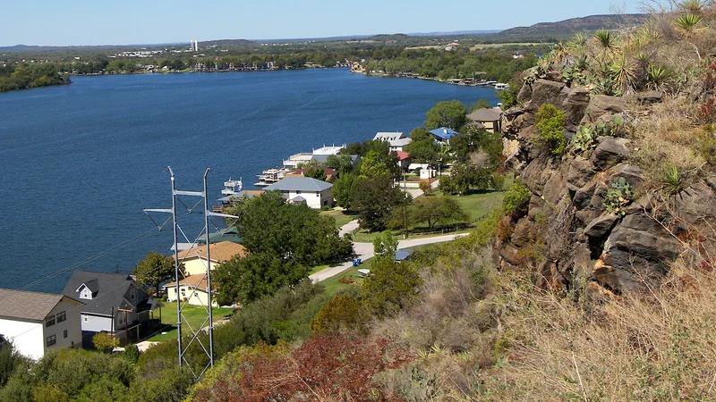
Inks Lake
Lower Colorado River Authority
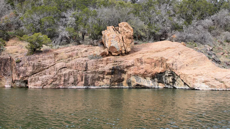
A compact constant-level lake below Buchanan.
May 15, 2026TWDB
Full96.2%
Level887.35 ft
Storage13,211 acre-ft
Urban lakeNo observation yet
Lady Bird Lake
City of Austin
The central Austin urban lake downstream of Lake Austin.
No observationLCRA
FullNo feed
LevelNo level feed
StorageNo storage feed
Constant-level urban reservoirStale
Lake Austin
Lower Colorado River Authority / City of Austin
A constant-level lake through west Austin.
May 15, 2026TWDB
Full95.9%
Level492.07 ft
Storage22,988 acre-ft
Water supply reservoirStale
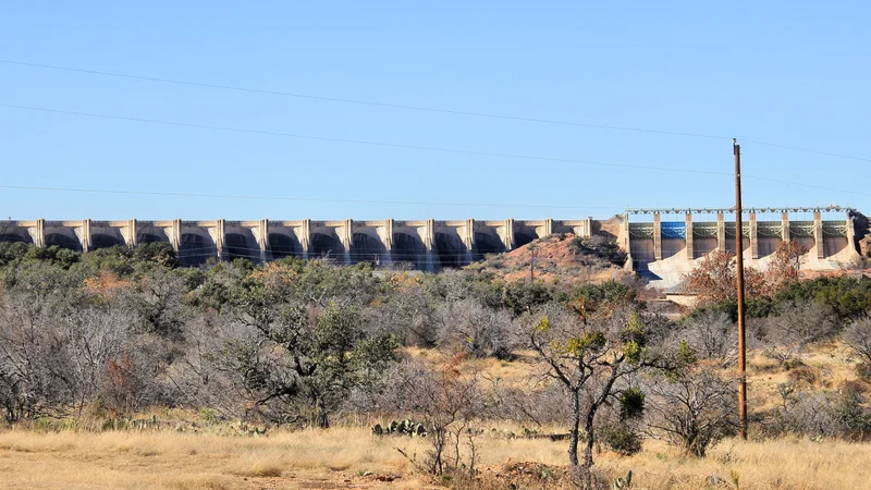
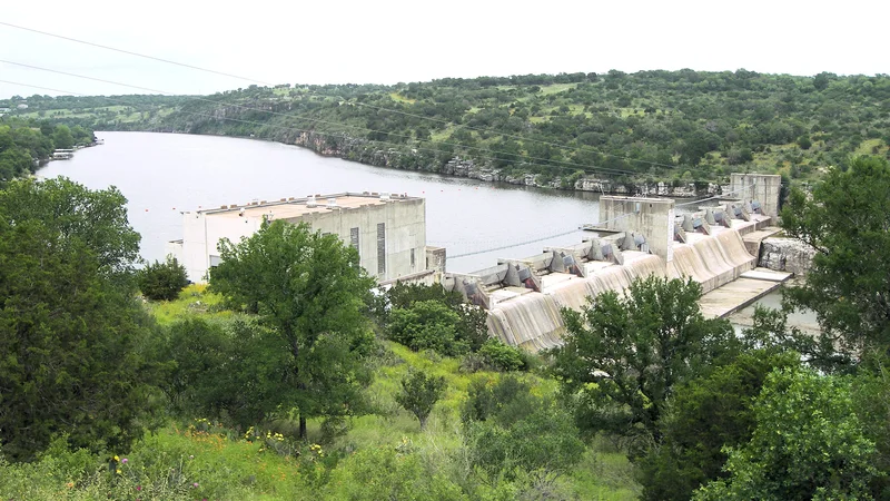
Lake Buchanan
Lower Colorado River Authority
The upstream storage anchor for the Highland Lakes system.
May 15, 2026TWDB
Full97.6%
Level1,019.05 ft
Storage845,465 acre-ft
Highland Lakes pass-through reservoirStale
Lake LBJ
Lower Colorado River Authority
A constant-level lake between Inks and Marble Falls.
May 15, 2026LCRA
FullNo feed
Level824.78 ft
StorageNo storage feed
Highland Lakes pass-through reservoirStale
Lake Marble Falls
Lower Colorado River Authority
A narrow lake in the middle Highland Lakes chain.
May 15, 2026TWDB
Full96.6%
Level736.54 ft
Storage7,341 acre-ft
Flood-control and water supply reservoirStale
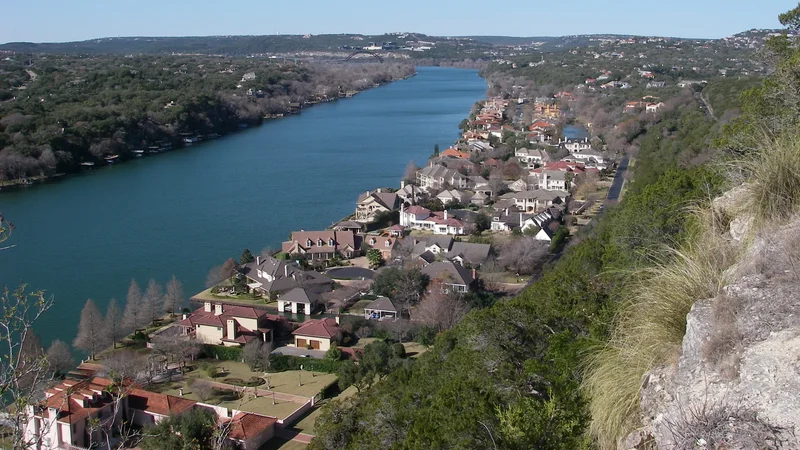
Lake Travis
Lower Colorado River Authority
Austin's most-watched variable-level reservoir.
May 15, 2026TWDB
Full73.9%
Level664.22 ft
Storage811,999 acre-ft