Lake pages connected to this regional catalog entry.
Texas
Highland Lakes lake region.
LakeStat models this Colorado River reservoir chain as a regional adapter for public water supply, flood control, and recreation context.
Regional pages with current observed source measurements.
Regional summary metric used by LakeStat directory modules.
Water supply reservoirStale
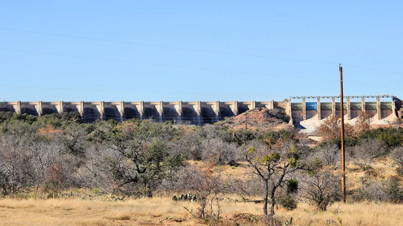
Lake Buchanan
Lower Colorado River Authority
The upstream storage anchor for the Highland Lakes system.
May 15, 2026TWDB
Full97.6%
Level1,019.05 ft
Storage845,465 acre-ft
Highland Lakes pass-through reservoirStale
Inks Lake
Lower Colorado River Authority
A compact constant-level lake below Buchanan.
May 15, 2026TWDB
Full96.2%
Level887.35 ft
Storage13,211 acre-ft
Highland Lakes pass-through reservoirStale
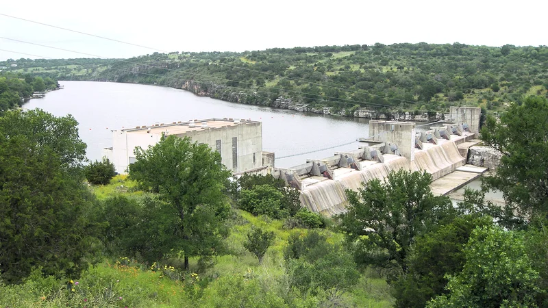
Lake LBJ
Lower Colorado River Authority
A constant-level lake between Inks and Marble Falls.
May 15, 2026LCRA
FullNo feed
Level824.78 ft
StorageNo storage feed
Highland Lakes pass-through reservoirStale
Lake Marble Falls
Lower Colorado River Authority
A narrow lake in the middle Highland Lakes chain.
May 15, 2026TWDB
Full96.6%
Level736.54 ft
Storage7,341 acre-ft
Flood-control and water supply reservoirStale
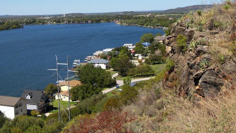
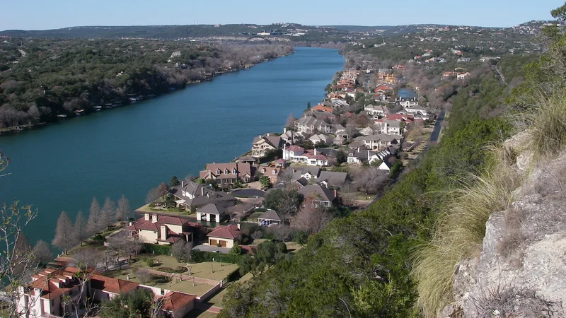
Lake Travis
Lower Colorado River Authority
Austin's most-watched variable-level reservoir.
May 15, 2026TWDB
Full73.9%
Level664.22 ft
Storage811,999 acre-ft
Constant-level urban reservoirStale
Lake Austin
Lower Colorado River Authority / City of Austin
A constant-level lake through west Austin.
May 15, 2026TWDB
Full95.9%
Level492.07 ft
Storage22,988 acre-ft

Urban lakeNo observation yet
Lady Bird Lake
City of Austin
The central Austin urban lake downstream of Lake Austin.
No observationLCRA
FullNo feed
LevelNo level feed
StorageNo storage feed