
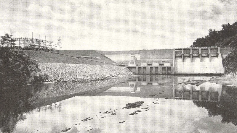
Dale Hollow Lake
Tennessee
History
1YLoading chart...
Percent-full requires a source-published storage/capacity series or rating basis.
Cataloged as the #5 public-interest lake or reservoir record for Tennessee. Matched to USACE NID record TN02702. Dam/source name: Dale Hollow Dam. River or stream: OBEY RIVER. Listed purposes: Flood Risk Reduction, Hydroelectric, Other, Recreation, Water Supply. This is a catalog metadata record until an observed water-data feed is attached.
Tennessee source-backed lake page
Loading lake map...
Reservoir metadata recordNo observation yet
Boone Lake
Tennessee Valley Authority
Boone Lake is a public Tennessee lake or reservoir catalog record. LakeStat shows current status only after an observed source has been ingested.
FullNo feed
LevelNo level feed
StorageNo storage feed
No observationNID
Reservoir metadata recordNo observation yet
Center Hill Lake
US Army Corps of Engineers
Center Hill Lake is a public Tennessee lake or reservoir catalog record. LakeStat shows current status only after an observed source has been ingested.
FullNo feed
LevelNo level feed
StorageNo storage feed
No observationNID
Reservoir metadata recordNo observation yet
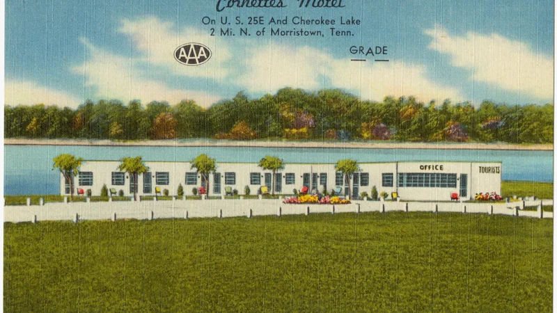
Cherokee Lake
Tennessee Valley Authority
Cherokee Lake is a public Tennessee lake or reservoir catalog record. LakeStat shows current status only after an observed source has been ingested.
FullNo feed
LevelNo level feed
StorageNo storage feed
No observationNID