
Lake Oahe
South Dakota
History
1YLoading chart...
Percent-full requires a source-published storage/capacity series or rating basis.
Cataloged as the #1 public-interest lake or reservoir record for South Dakota. Matched to USACE NID record SD01095. Dam/source name: Oahe Dam - Fort Yates Flood Protection Project. River or stream: MISSOURI RIVER. Listed purposes: Flood Risk Reduction, Hydroelectric, Irrigation, Navigation, Recreation. This is a catalog metadata record until an observed water-data feed is attached.
South Dakota source-backed lake page
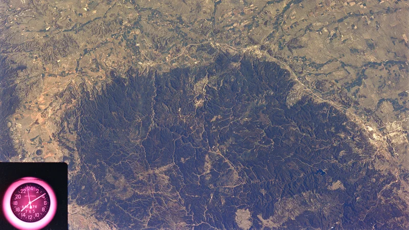
Loading lake map...
Reservoir metadata recordNo observation yet
Angostura Reservoir
Bureau of Reclamation
Angostura Reservoir is a public South Dakota lake or reservoir catalog record. LakeStat shows current status only after an observed source has been ingested.
FullNo feed
LevelNo level feed
StorageNo storage feed
No observationNID
Reservoir metadata recordNo observation yet
Belle Fourche Reservoir
Bureau of Reclamation
Belle Fourche Reservoir is a public South Dakota lake or reservoir catalog record. LakeStat shows current status only after an observed source has been ingested.
FullNo feed
LevelNo level feed
StorageNo storage feed
No observationNID
Reservoir metadata recordNo observation yet
Columbia Road Reservoir
Fish and Wildlife Service
Columbia Road Reservoir is a public South Dakota lake or reservoir catalog record. LakeStat shows current status only after an observed source has been ingested.
FullNo feed
LevelNo level feed
StorageNo storage feed
No observationNID